how do we plan for the future of arid landscapes in the face of climate change?
SHIELD RANCH
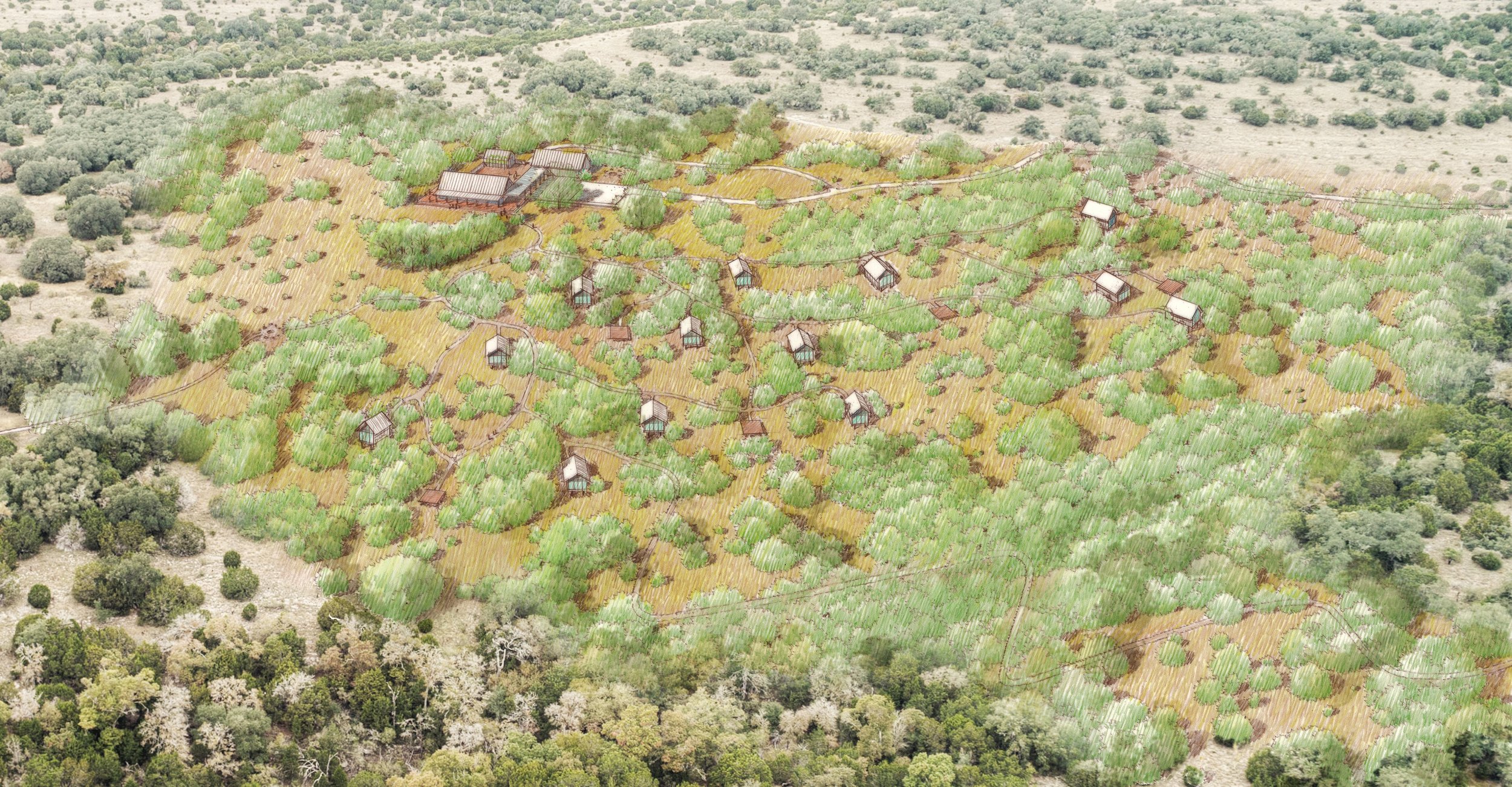
The Shield Ranch Master Plan reflects one family’s evolving approach to land stewardship and conservation advocacy in an arid, rapidly developing region. To protect, connect, and share Shield Ranch’s 6,800-acre landscape with the next generation, our team pioneered an innovative process for modeling and categorizing the complex natural and cultural systems of this iconic Texas Hill Country landscape. Using digital tools; high–resolution, publicly available data; and on-site data collection with experts, the plan thoughtfully sites several desired new programs identified during an early visioning process. This master planning process is widely applicable to other landowners in Texas and throughout the American Southwest who wish to implement sustainable land development, conservation, and enhanced resiliency within arid landscapes that are particularly vulnerable to climate change.
The Andropogon team pioneered a process for modelling and categorizing the landscape’s complex, natural and cultural systems, and identifying sensitive areas, which included:
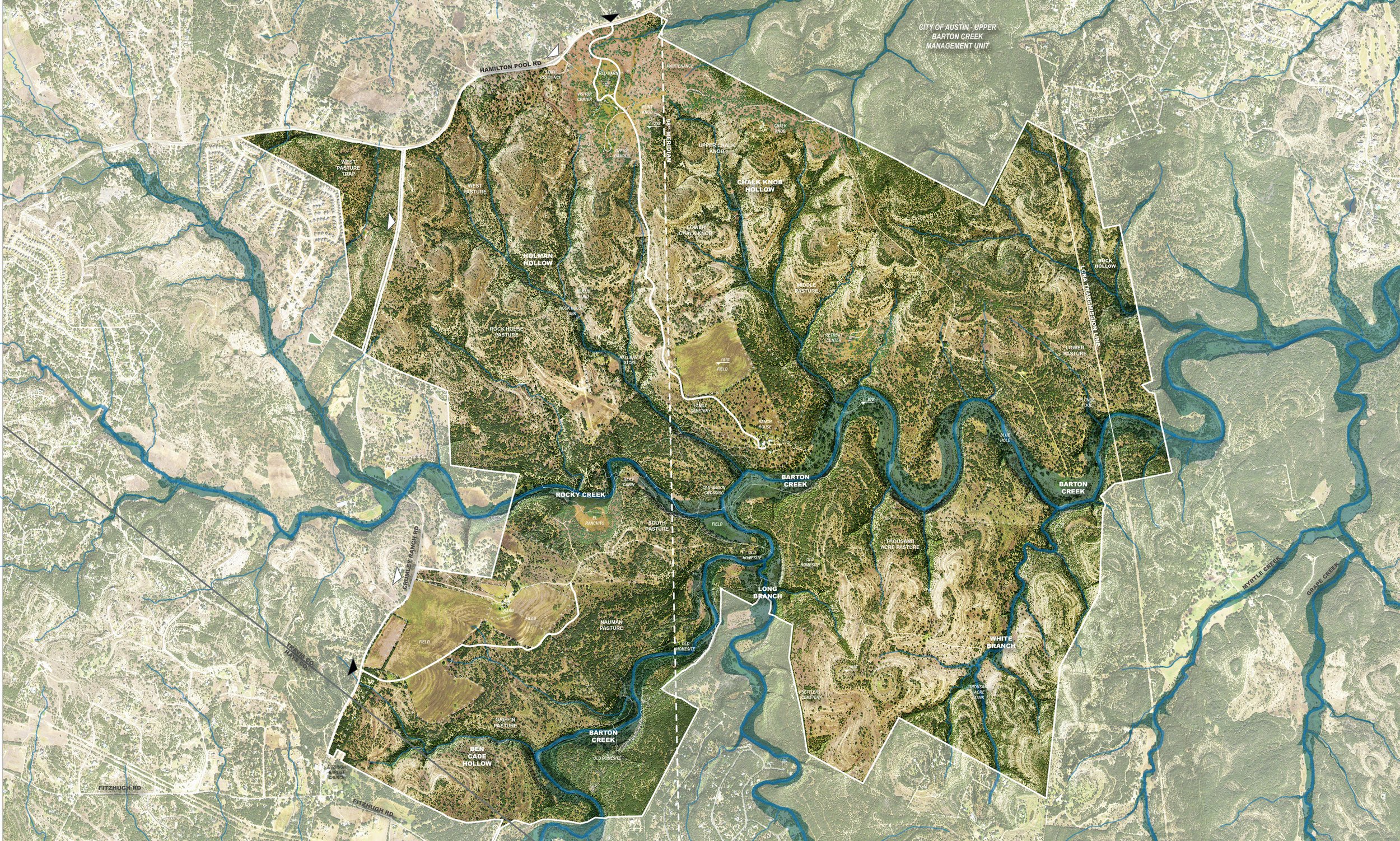
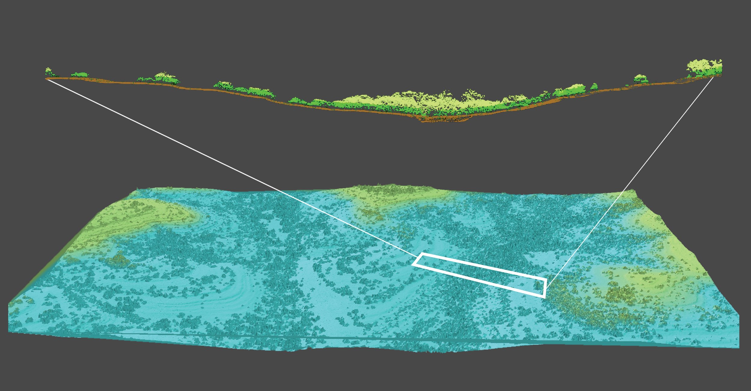
LIDAR data hydrogeological modeling – Using high-resolution, point cloud elevation data from the State of Texas and input from leading scientists, the master planning team modeled hydrogeological systems and regional water movement, then developed a water management strategy for each hydrological zone.
LIDAR data viewshed and soundscape modeling – Using high-resolution, point cloud elevation, and vegetation data, the team analyzed existing auditory and visual conditions and potential future scenarios to site programs that require a secluded, nature-immersion experience.
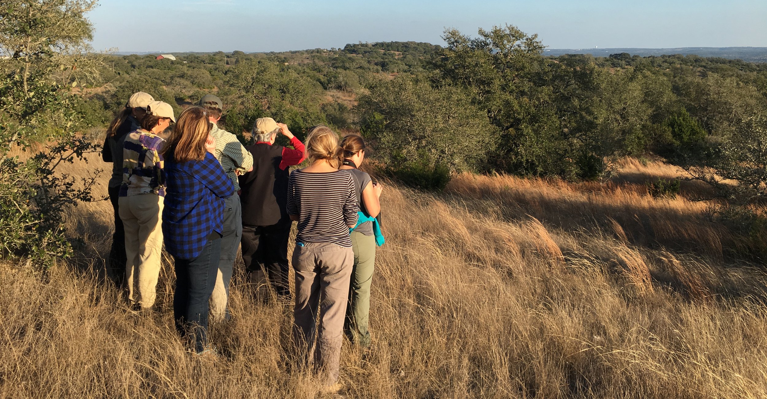
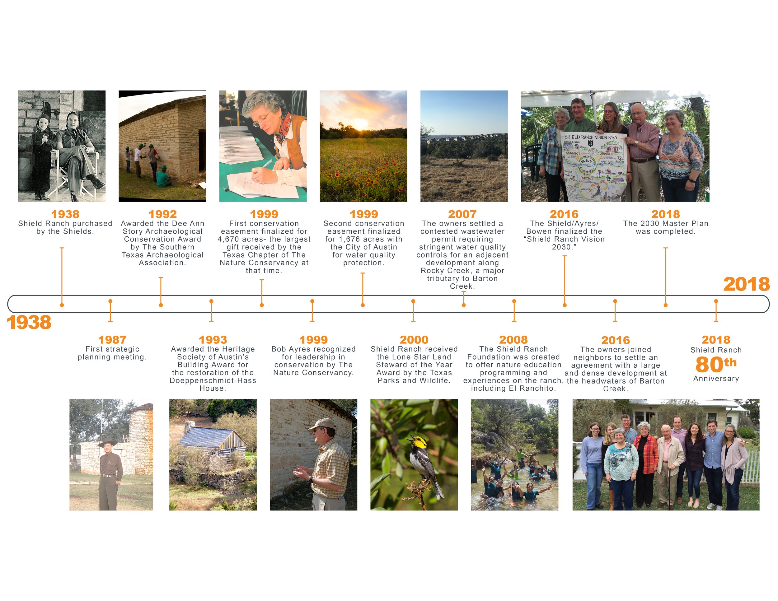
Client-engaged GIS and smartphone app use – The team digitized and recorded eighty years’ worth of family knowledge about the ranch; digitized and recorded visiting scientists’ findings; identified future threats to the integrity of the ranch; trained the Program Area Working Groups to ground-truth the analysis findings; and test fit proposed program area design iterations.
Eco-hydrogeological planning frameworks – By combining GIS data and information from interviews with local scientists and policymakers, the team tailored design guidelines that support Shield Ranch’s: 1) Variable geologic features (including protection of the high-performing “risers” in the stair-stepped “riser-tread” geology; 2) Need to protect water quality; and 3) Desire to provide high-quality habitat for two resident, endangered species (the golden-cheeked warbler and black-capped vireo).
PROJECT INFORMATION
Location: Barton Creek Watershed, TX
Size: 6,800 acres
Role: Prime, Landscape Architect of Record
Services: Master Planning, Conceptual Design, Environmental Analysis
AWARDS
2018 ASLA Honor Award in Analysis and Planning from the American Society of Landscape Architects
